Old Map of England and Europe circa 1770
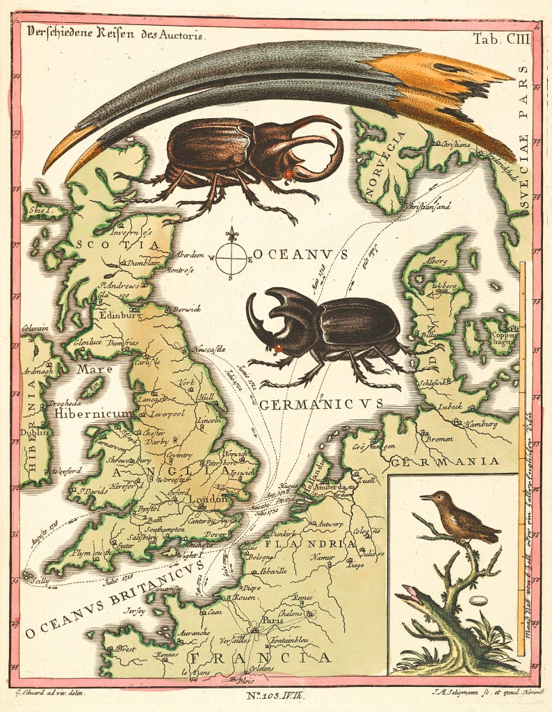
Old Map of England and Europe by George Edwards circa 1770
from Verzameling van uitlandsche en zeldzaame vogelen, published 1776

Old Map of England and Europe by George Edwards circa 1770
from Verzameling van uitlandsche en zeldzaame vogelen, published 1776