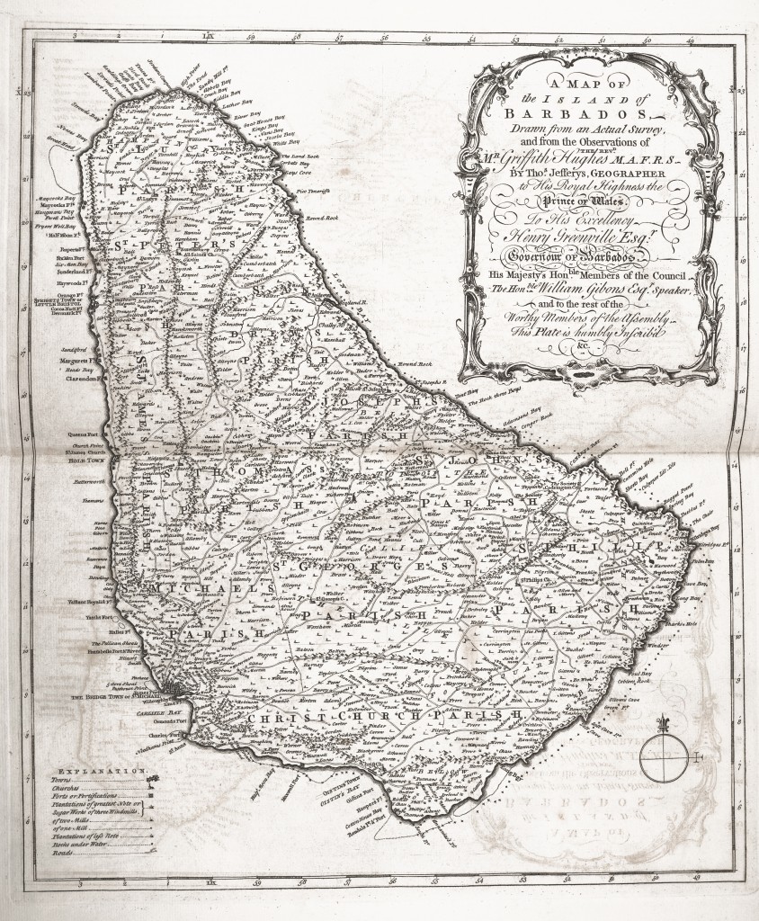
Old Map of Barbados circa 1750 By Melanie | October 16, 2013 Map of Barbados circa 1750from The natural history of Barbados circa 1750 Posted in CC License, Maps and tagged 1750, Barbados ← Palmolive Outdoor Billboard Advertising circa 1924 by Poster Advertising CoTouring Car Type L 30 Locomobile Company circa 1911 →