
Old Maps of Jamaica circa 1750
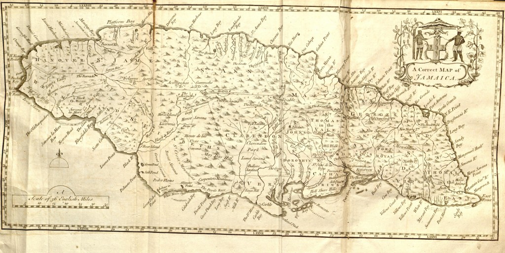
Map of Jamaica circa 1750
from The civil and natural history of Jamaica by Patrick Browne dated 1756
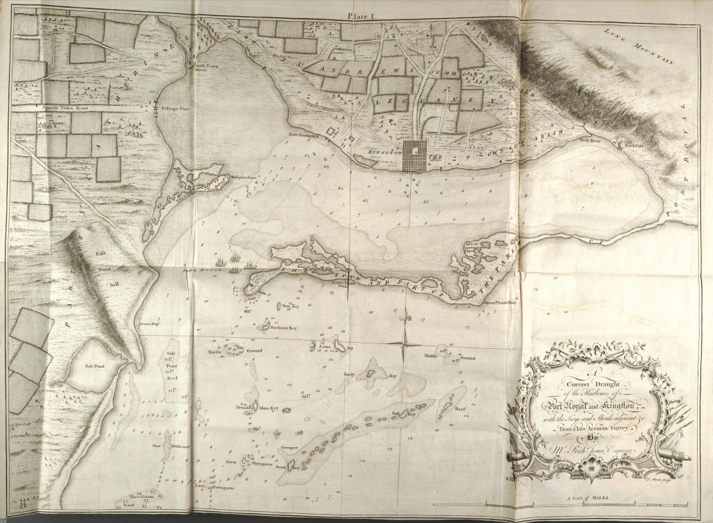
Map of Jamaica (Port Royal, Kingston) circa 1750
from The civil and natural history of Jamaica by Patrick Browne dated 1756