Old Maps of London, Middlesex and Essex circa 1820
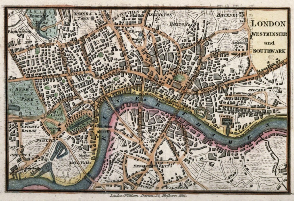
Map of London England circa 1820 by William Darton Publishing
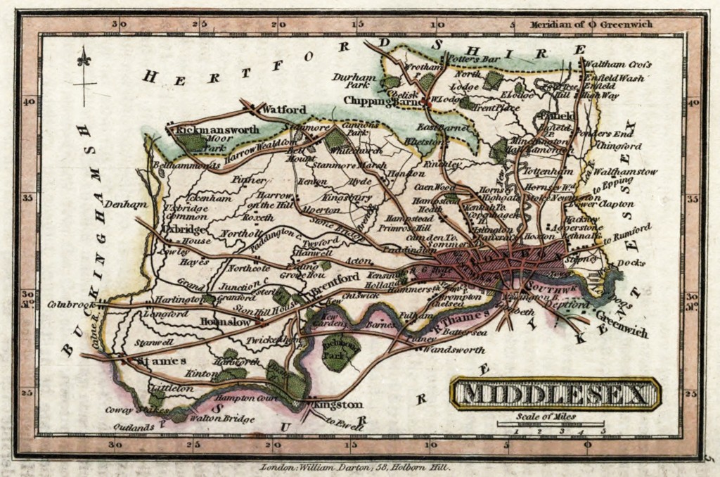
Map of Middlesex London England circa 1820 by William Darton Publishing
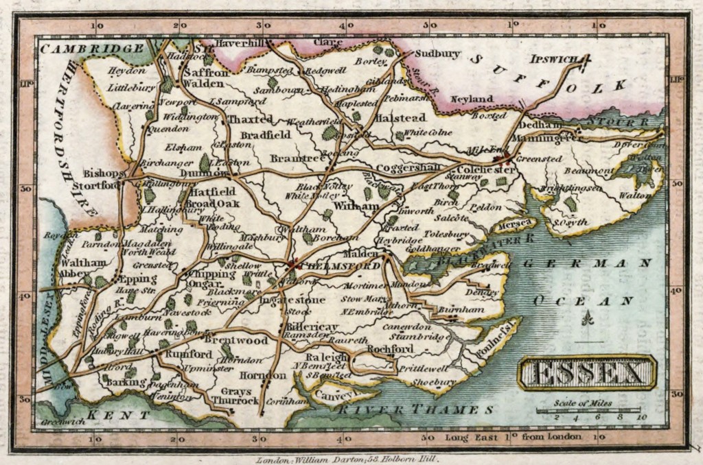
Map of Essex England circa 1820 by William Darton Publishing

Map of London England circa 1820 by William Darton Publishing
Map of Middlesex London England circa 1820 by William Darton Publishing
Map of Essex England circa 1820 by William Darton Publishing